


Maui Weather Forecast
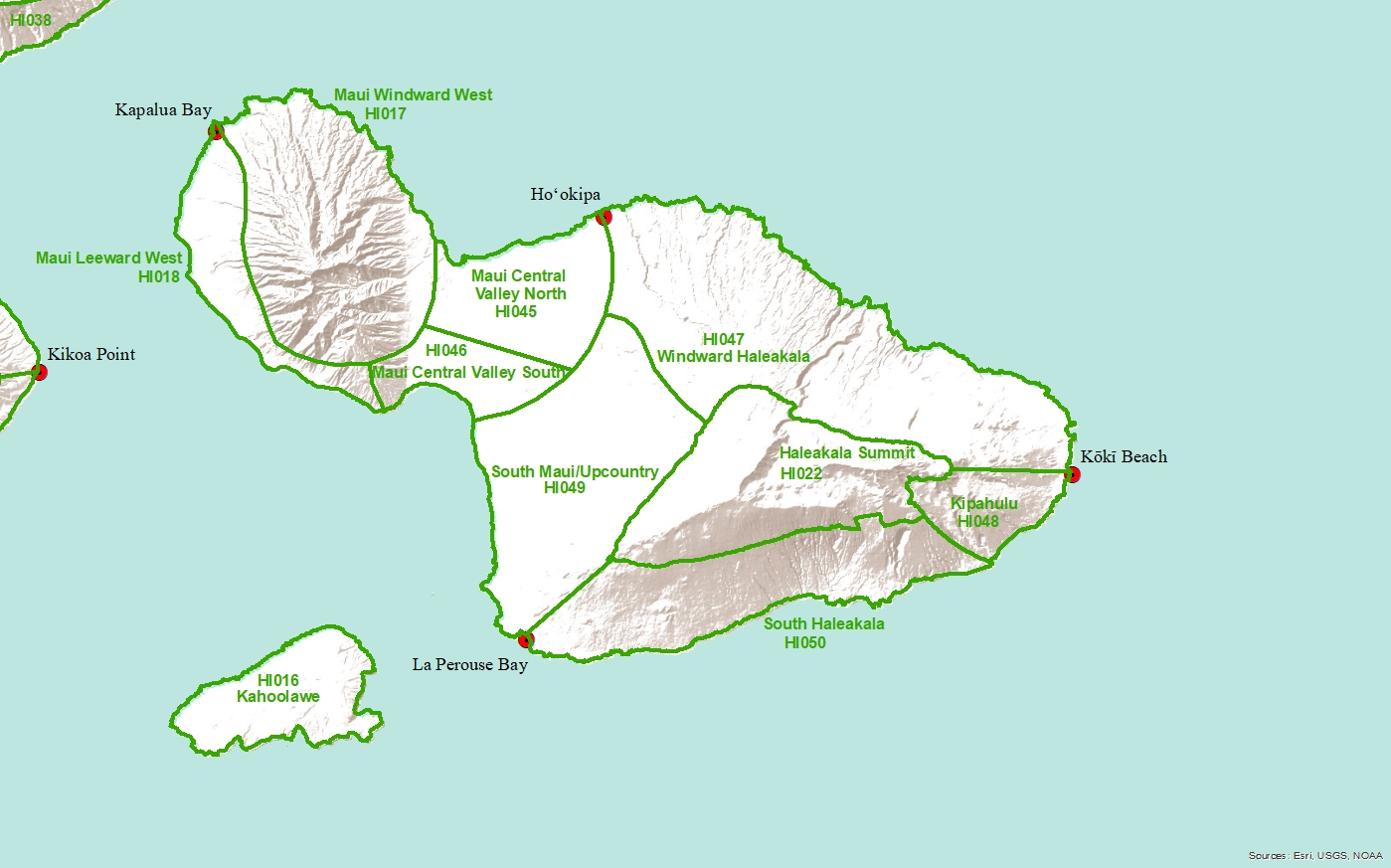
Central Valley North-
TODAY
Sunny. Highs 81 to 89. Northeast winds up to 15 mph.
TONIGHT
Mostly clear. Lows 68 to 75. East winds up to 15 mph.
SATURDAY
Sunny. Highs 81 to 89. Northeast winds up to 15 mph increasing to 10 to 15 mph in the afternoon.
SATURDAY NIGHT
Mostly clear. Lows 68 to 74. Northeast winds around 10 mph.
SUNDAY
Sunny. Highs 80 to 88. Northeast winds around 10 mph.
SUNDAY NIGHT
Mostly clear. Lows 67 to 73. Northeast winds around 10 mph.
MONDAY
Sunny. Isolated showers in the morning. Highs 80 to 87. Northeast winds 10 to 15 mph. Chance of rain 20 percent.
MONDAY NIGHT
Mostly clear. Lows 67 to 73. Northeast winds 10 to 15 mph.
TUESDAY
Mostly sunny with isolated showers. Highs 80 to 87. Northeast winds 10 to 15 mph. Chance of rain 20 percent.
TUESDAY NIGHT
Mostly clear with isolated showers. Lows 68 to 74. Northeast winds 10 to 15 mph. Chance of rain 20 percent.
WEDNESDAY
Partly sunny with isolated showers in the morning, then mostly sunny in the afternoon. Highs 80 to 87. Northeast winds 10 to 15 mph. Chance of rain 20 percent.
WEDNESDAY NIGHT
Partly cloudy in the evening then becoming mostly cloudy. Isolated showers. Lows around 71. Northeast winds 10 to 15 mph. Chance of rain 20 percent.
THURSDAY
Partly sunny in the morning then becoming mostly sunny. Isolated showers. Highs 79 to 87. Northeast winds 10 to 15 mph. Chance of rain 20 percent.